 |
More Infos: ==> www.seaice.de/ |
|
|
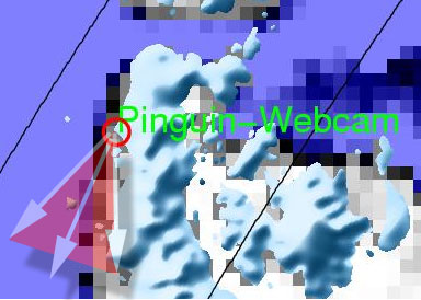
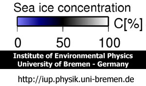
How to read the sea ice map: you just have to realize this: black colour means an average ice coverage of the ocean with 50%, more blue colour means less than 50% and grey or white means up to 100% ice coverage.
Above: webcam perspective, looking to West (map above is not positioned to the north...)
|
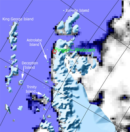
Above: some remarkable places on the sea ice map. The distance from O'Higgins to Astrolabe Island is 40 km. |
|